


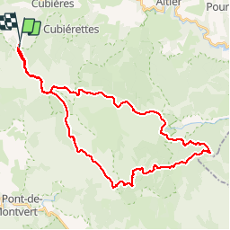


22 km | 32 km-effort


Benutzer


Kostenlosegpshiking-Anwendung
 SityTrail
IGN / Geografische Institute
SityTrail World
Die Welt öffnet sich für Sie
Tour Mountainbike von 41 km verfügbar auf Okzitanien, Lozère, Mont Lozère et Goulet. Diese Tour wird von phcol vorgeschlagen.
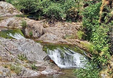
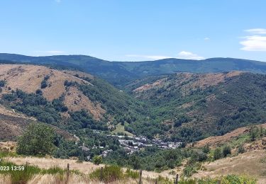
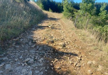
Superbe balade qui passe du versant nord puis Sud du Mont Lozère. Attention après Salarial,la poursuite sur le GR 7 : 2 km de galère. Il y a une alternative.

Wandern

Wandern
Wandern

Wandern
Wandern
Wandern

Elektrofahrrad
Mountainbike
Wandern